Chapline Hill Tunnel
Revision as of 18:01, 10 April 2018 by Api (talk | contribs) (Created page with "<div id="content_view" class="wiki" style="display: block">'''''Also called the Hempfield Tunnel and Viaduct'''''<br /> Tunnel.gif<br /> ''from the 1870 m...")
Also called the Hempfield Tunnel and Viaduct
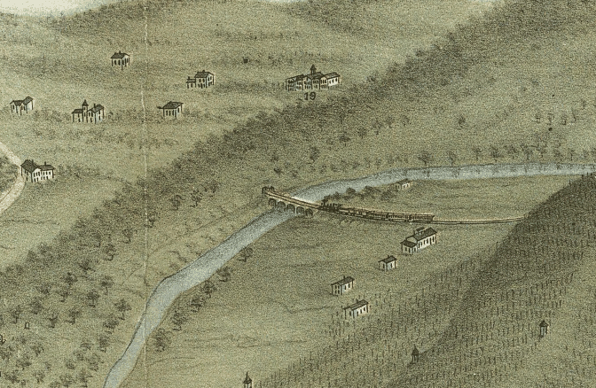
from the 1870 map of Wheeling ([/References Chicago Map Co.])
Number 19 on the map is Mount de Chantal school.
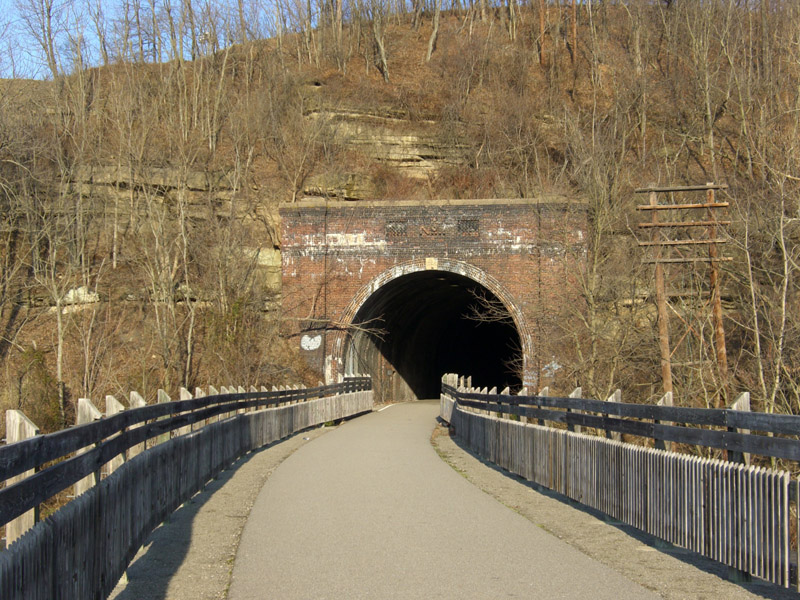
The Hempfield Tunnel is now part of the Wheeling Walking/Bicycling Path, which replaces the railway tracks.
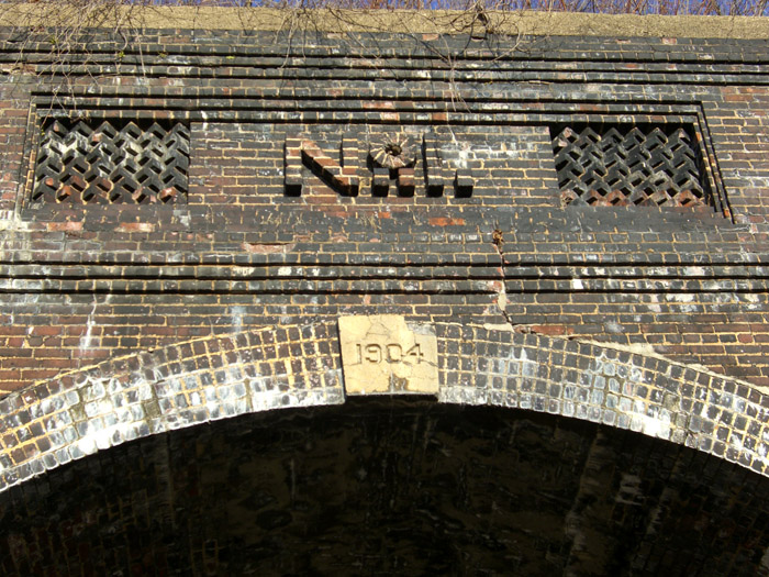
How extensive were the repairs/rebuilding of 1904 - from this date over the west tunnel entrance it appears the answer is, "Very".
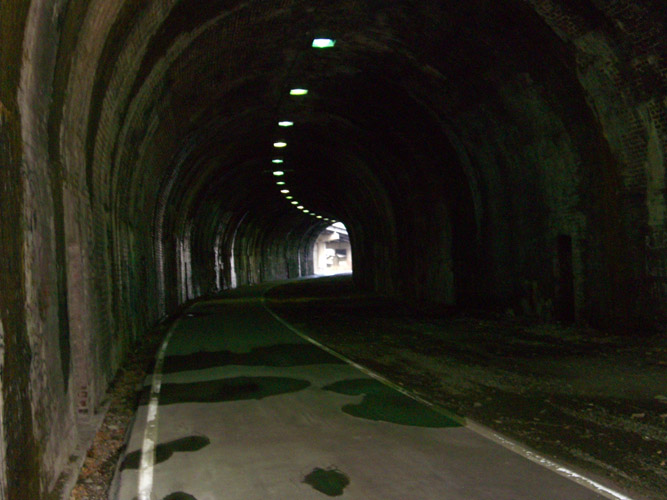
Looking east - note the lights in the ceiling!
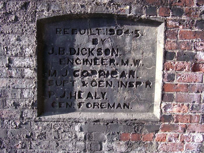
Just inside the west end of the tunnel is this plaque naming people who rebuilt it in 1904.
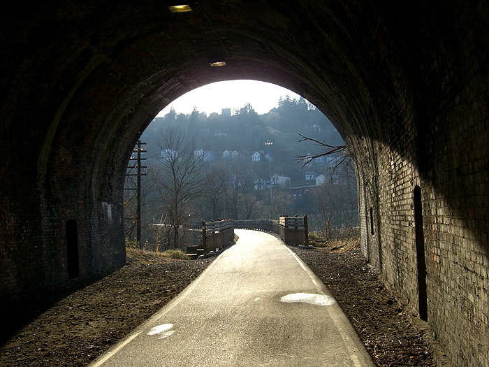
The light at the end of the tunnel - looking west.
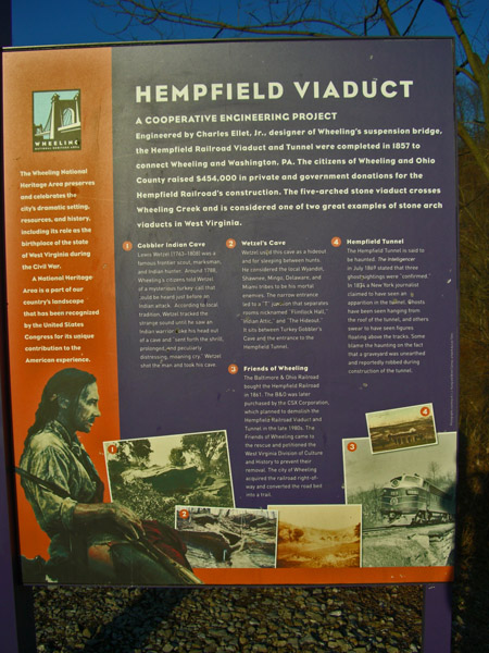
History and walk through.

from the 1870 map of Wheeling ([/References Chicago Map Co.])
Number 19 on the map is Mount de Chantal school.
The Hempfield Tunnel is now part of the Wheeling Walking/Bicycling Path, which replaces the railway tracks.


How extensive were the repairs/rebuilding of 1904 - from this date over the west tunnel entrance it appears the answer is, "Very".


Looking east - note the lights in the ceiling!

Just inside the west end of the tunnel is this plaque naming people who rebuilt it in 1904.

The light at the end of the tunnel - looking west.
History and walk through.