Maps
Maps and Panoramas
The history of every place can be traced by changes in maps over the decades and centuries.
- 1755
 [/Fry%20%26%20Jefferson%201755%20Map Map by Joshua Fry and Peter Jefferson] (Thomas' father) of Virginia (Library of Congress). Excerpt of Wheeling Creek area (?)
 - 1755
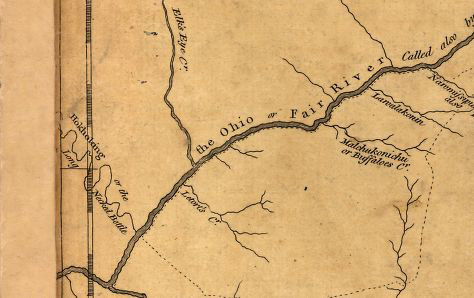
 Map of [/British%20and%20French%20dominions%20in%20North%20America%2C%201755 British and French dominions in North America, 1755] (Library of Congress
 - 1796 Map of Victor Collot showing buildings and fort at Wheeling.
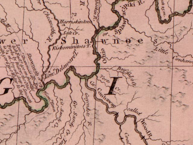
- 1802 [/Aaron%20Arrowsmith%2C%201802 Aaron Arrowsmith's] map of North America
- 1817 [/The%20Navigator%201817%20Map The Navigator 1817 Map] map of Ohio River and description of Wheeling
- ~1830s
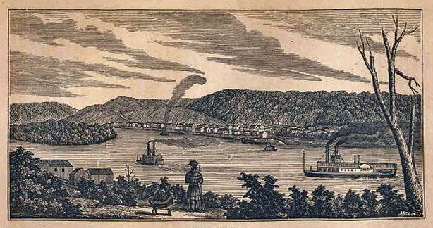 Famous [/Early%20Wheeling drawing] from before the Suspension Bridge (pre-1849)
 - ~ 1849
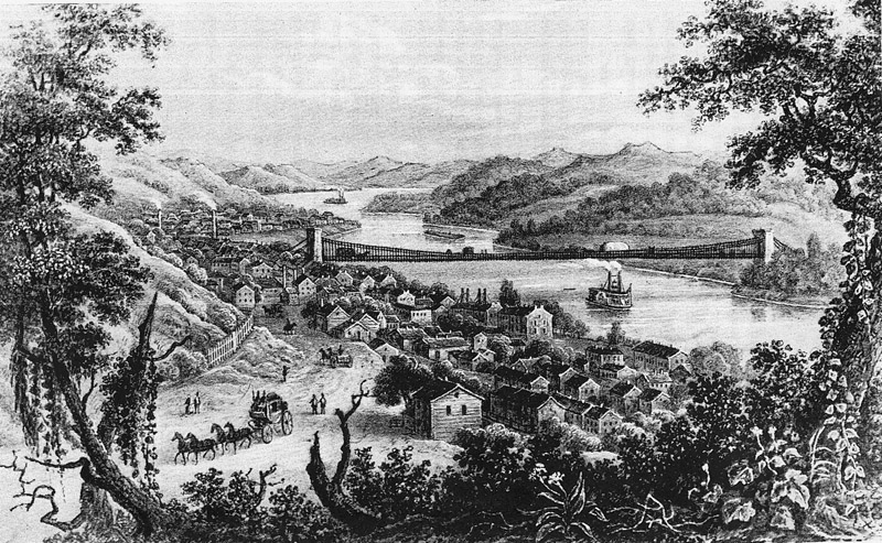 [/Early%20Wheeling engraving] from Wheeling Hill south
 - 1853
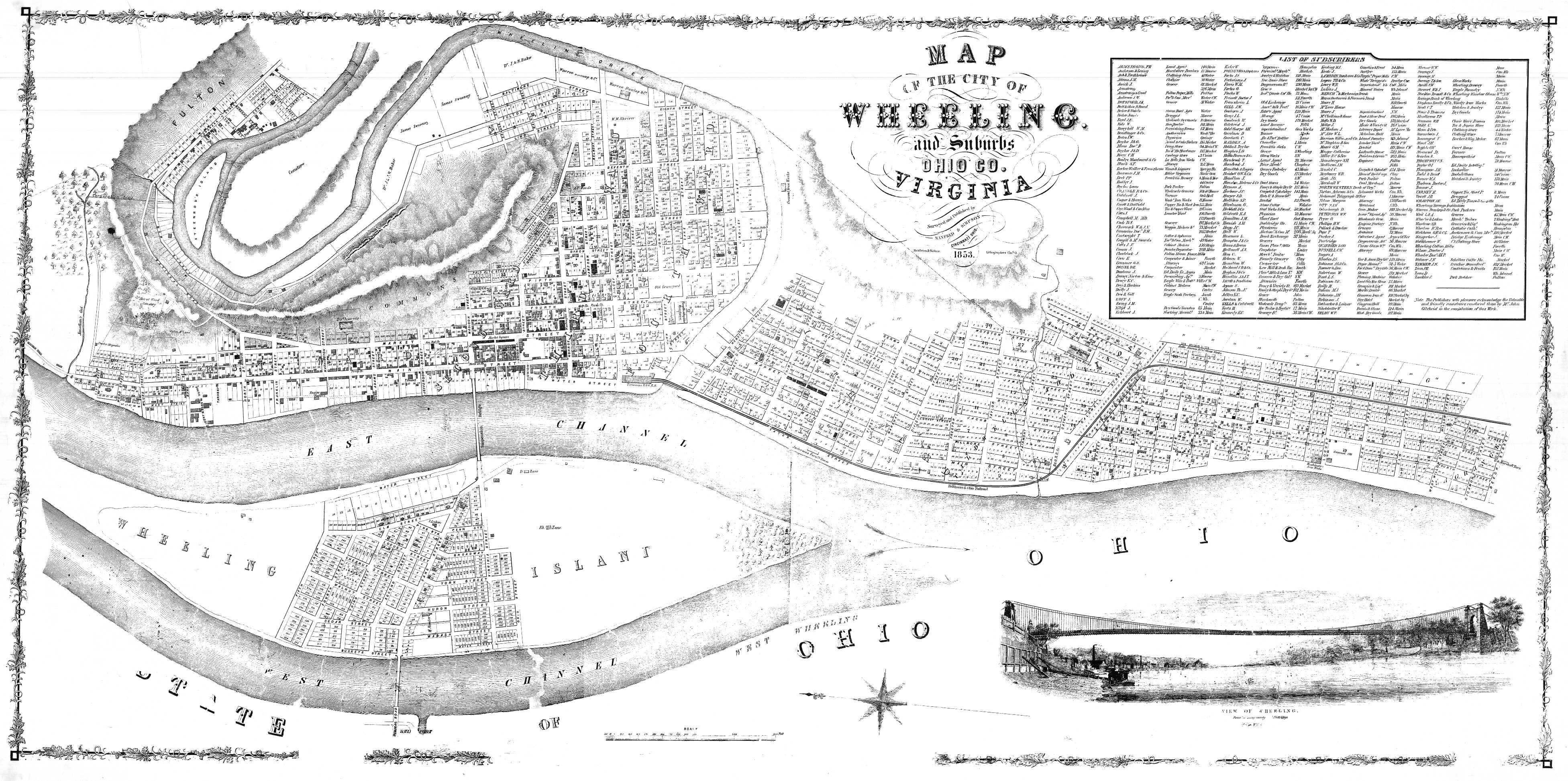 [/City%20of%20Wheeling%20-%201853 City of Wheeling - 1853] by Manfred & Simpson.
 - 1854
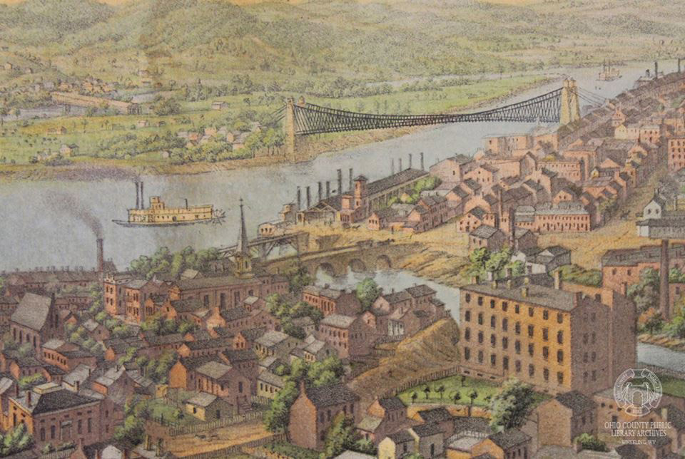 [/Drawing%20of%20Wheeling%20from%20Chapline%20Hill Drawing of Wheeling from Chapline Hill] by Edward Sasche
 - 1857
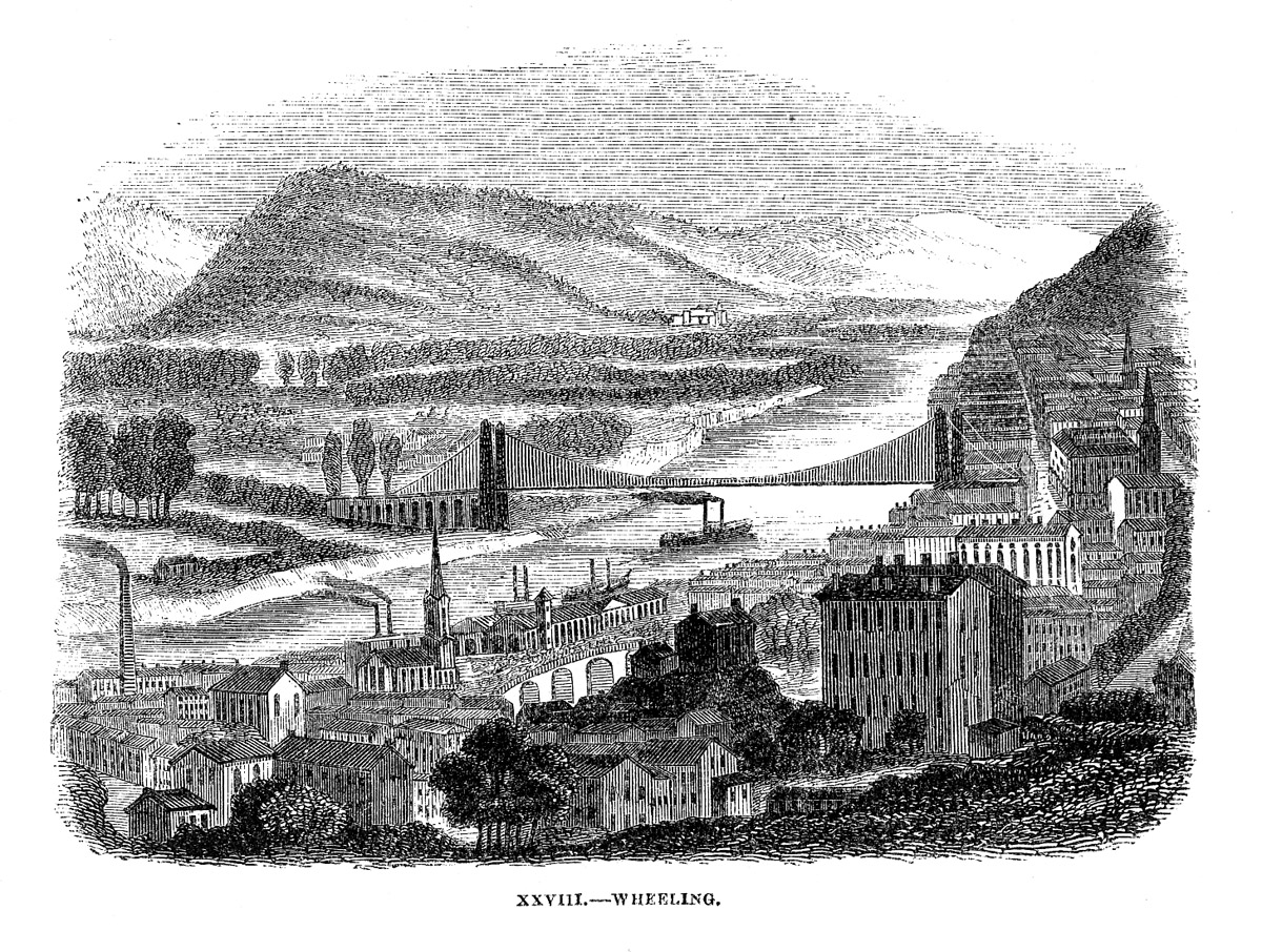 Wheeling from April 1857 Harpers Monthly.
 - 1870
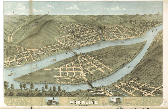 [/Wheeling%2C%201870%20Map Wheeling, 1870 Map] Classic birds-eye View!
 - 2008
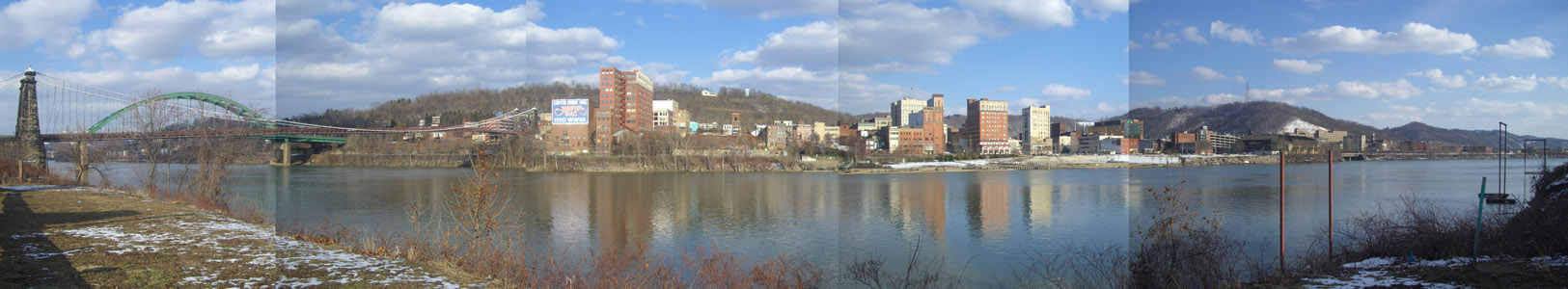 [/Ohio%20River%20View Ohio River View] Photo panorama from March 2008


This page has been edited 15 times. The last modification was made by - tychocrater tychocrater on May 13, 2015 1:42 pm