Difference between revisions of "Ft. Henry"
(Created page with "<div id="content_view" class="wiki" style="display: block">FtHenry-1919PM.jpg<br /> There are no contemporary drawings of the fort, but this post...") |
|||
| Line 1: | Line 1: | ||
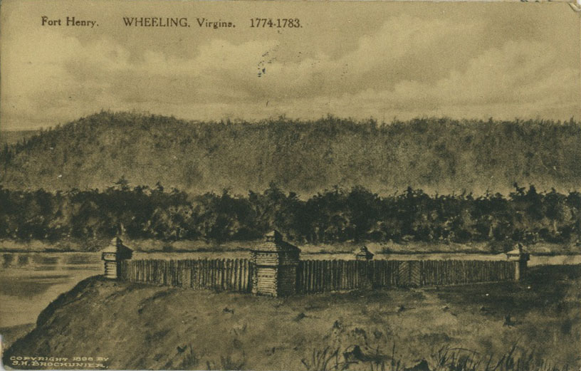
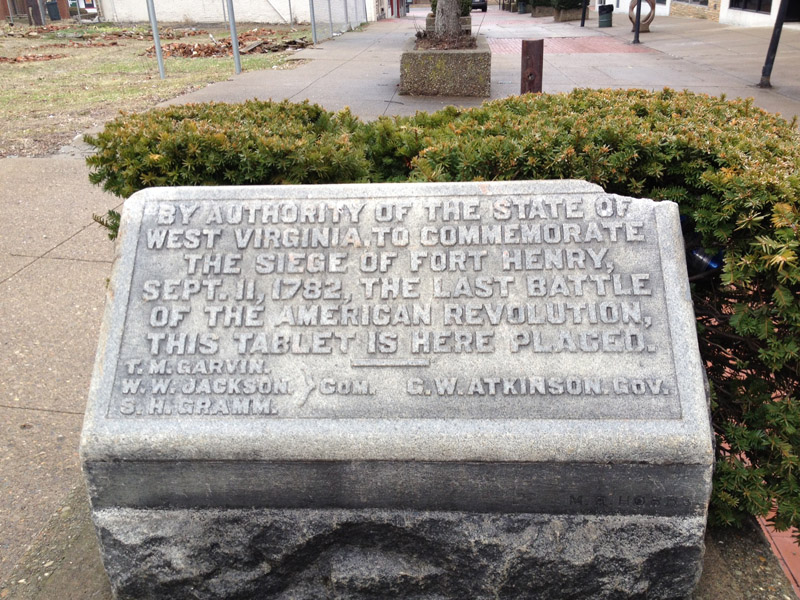
<div id="content_view" class="wiki" style="display: block">[[Image:FtHenry-1919PM.jpg|FtHenry-1919PM.jpg]]<br /> There are no contemporary drawings of the fort, but this postcard drawing from 1919 is a reasonable guess. It was located between the current 10th & 11th streets on the west side of Main St. A pasture sloped down to the river.<br /> <br /> [[Image:FtHenryStoneSM.jpg|FtHenryStoneSM.jpg]]<br /> A stone on Main St marks the fort's location and the last battle of the Revolutionary War that was fought there (after the Peace Treaty was signed - no instant communications then).<br /> <br /> | <div id="content_view" class="wiki" style="display: block">[[Image:FtHenry-1919PM.jpg|FtHenry-1919PM.jpg]]<br /> There are no contemporary drawings of the fort, but this postcard drawing from 1919 is a reasonable guess. It was located between the current 10th & 11th streets on the west side of Main St. A pasture sloped down to the river.<br /> <br /> [[Image:FtHenryStoneSM.jpg|FtHenryStoneSM.jpg]]<br /> A stone on Main St marks the fort's location and the last battle of the Revolutionary War that was fought there (after the Peace Treaty was signed - no instant communications then).<br /> <br /> | ||
---- | ---- | ||
| − | + | </div> | |
Latest revision as of 19:55, 23 April 2018

There are no contemporary drawings of the fort, but this postcard drawing from 1919 is a reasonable guess. It was located between the current 10th & 11th streets on the west side of Main St. A pasture sloped down to the river.

A stone on Main St marks the fort's location and the last battle of the Revolutionary War that was fought there (after the Peace Treaty was signed - no instant communications then).