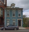
Difference between revisions of "Main St - 600, odd numbers"
| Line 2: | Line 2: | ||
{| class="wiki_table" | {| class="wiki_table" | ||
| | | | ||
| − | [[Image:653main.jpg|653main.jpg]]<br /> | + | [[Image:653main.jpg|653main.jpg|100px]]<br /> |
| | | | ||
| − | [[Image:651Main.JPG|651Main.JPG]]<br /> | + | [[Image:651Main.JPG|651Main.JPG|100px]]<br /> |
| | | | ||
| − | [[Image:649Main.JPG|649Main.JPG]]<br /> | + | [[Image:649Main.JPG|649Main.JPG|100px]]<br /> |
| | | | ||
| − | [[Image:647main.jpg|647main.jpg]]<br /> | + | [[Image:647main.jpg|647main.jpg|100px]]<br /> |
| | | | ||
| − | [[Image:645Main.JPG|645Main.JPG]]<br /> | + | [[Image:645Main.JPG|645Main.JPG|100px]]<br /> |
| | | | ||
| − | [[Image:643mainsm.jpg|643mainsm.jpg]]<br /> | + | [[Image:643mainsm.jpg|643mainsm.jpg|100px]]<br /> |
| | | | ||
| − | [[Image:641Main.jpg|641Main.jpg]]<br /> | + | [[Image:641Main.jpg|641Main.jpg|100px]]<br /> |
|- | |- | ||
| | | | ||
| Line 32: | Line 32: | ||
|- | |- | ||
| | | | ||
| − | [[Image:639mainsm.jpg|639mainsm.jpg]]<br /> | + | [[Image:639mainsm.jpg|639mainsm.jpg|100px]]<br /> |
| | | | ||
| − | [[Image:633Main50pc.jpg|633Main50pc.jpg]]<br /> | + | [[Image:633Main50pc.jpg|633Main50pc.jpg|100px]]<br /> |
| | | | ||
| − | [[Image:629Main2.jpg|629Main2.jpg]]<br /> | + | [[Image:629Main2.jpg|629Main2.jpg|100px]]<br /> |
| | | | ||
| − | [[Image:627Main.JPG|627Main.JPG]]<br /> | + | [[Image:627Main.JPG|627Main.JPG|100px]]<br /> |
| | | | ||
| − | [[Image:625Main.JPG|625Main.JPG]]<br /> | + | [[Image:625Main.JPG|625Main.JPG|100px]]<br /> |
| | | | ||
| − | [[Image:623Main.JPG|623Main.JPG]]<br /> | + | [[Image:623Main.JPG|623Main.JPG|100px]]<br /> |
| | | | ||
| − | [[Image:621Main.jpg|621Main.jpg]]<br /> | + | [[Image:621Main.jpg|621Main.jpg|100px]]<br /> |
| | | | ||
| − | [[Image:601Main.JPG|601Main.JPG]]<br /> | + | [[Image:601Main.JPG|601Main.JPG|100px]]<br /> |
|- | |- | ||
| | | | ||
Revision as of 19:37, 23 April 2018
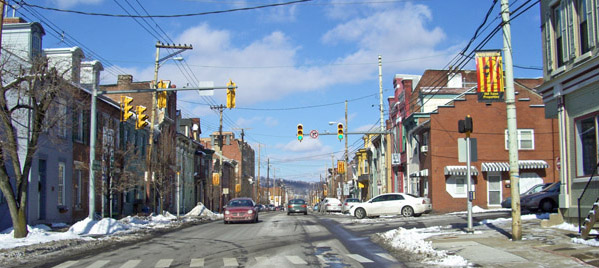
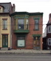
Looking north up Main St at 7th St.
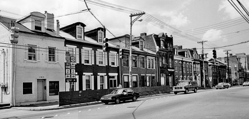
West side of 600 block - 1988 photo from Registration Form of Natl Register of Historic Places - North Wheeling Historic District.
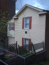
White house at left is 659 Main. Ugly fence to protect houses from splashes removed apparently after road drainage improved.
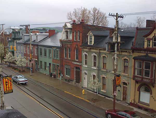
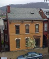
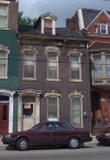
Second story view from 645 (yellow house on right) to 659 Main on a rainy day.
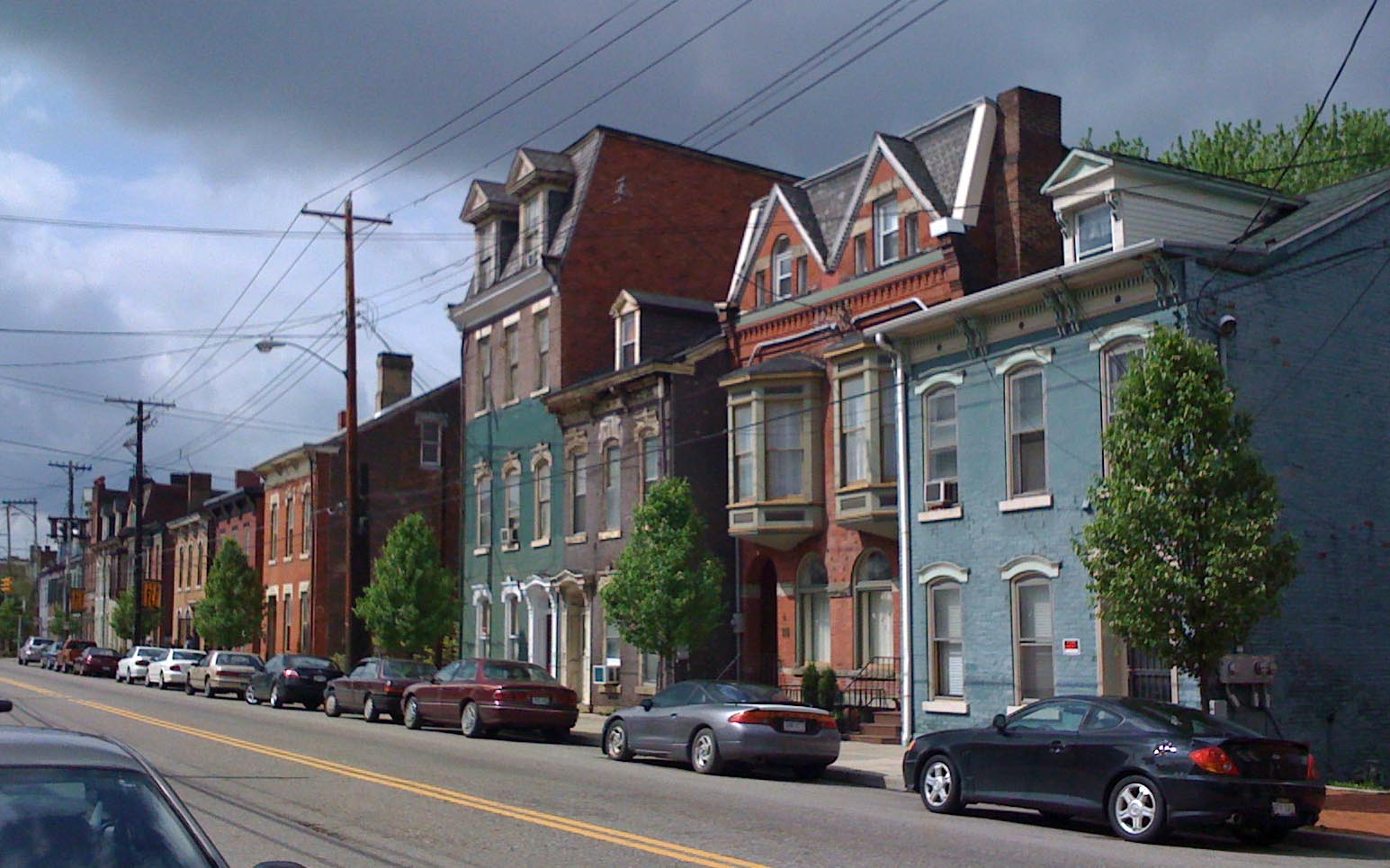
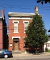
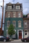
North end of 600 block. The nearest blue house is 621 Main.
|
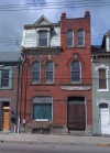
653 Main Phillips House |
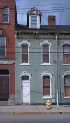
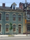
651 Main McCusky House |
||||||
|
635 Main Dunlevy House |
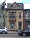
629 Main Dunbar House |
621 Main |
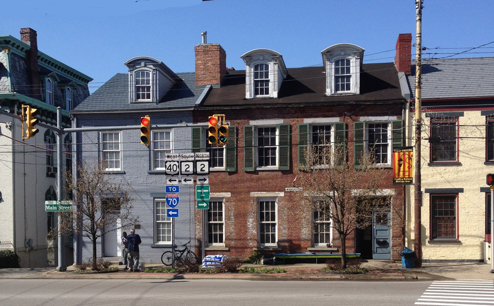
659 Main (picture above) From Ross Frazier on Feb 20, 2011:
On the corner was a drug store with living quarters above. My parent and I lived there in 1938/39. In 1938 the property was owned by the druggist, Ed Hart, When he retired the Clyde Keys family purchased the property and continued to run the drug store, soda fountain, and sundry type store. The Keys family lived over the store.
CAW comments: 659 is the grey house; notice on the 1988 photo that the building still looked like a drug store with two large display windows. Sometime since it has been converted to be an attractive dwelling.
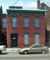
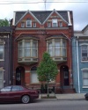
655 Main (picture above of wide brick house) From Ross Frazier on Feb 20, 2011: This was the Moser residence. Moser was a relative of the Phillips family (653 Main). Aunt Nell Moser was the daughter of Mrs. Moore. Nell Moser had one daughter Sarah, Sarah was a long time Gym teacher at the Old Wheeling High School. I bet she was there over 30 years. Sarah Moser went to the only Baptist Church in Wheeling, it was out the Pike on the National Road just east of Edgington Lane, Quite close the Jewish Synagogue.
Main 700 Block >

